- Startsida
- En
- Experience
- Nature and the outdoor life
- Superb day trips on foot
Superb day trips on foot
Halmstad has many fine paths and trails you will want to stroll along. There is great beauty to discover – surging waterfalls, sun-drenched forest clearings, wide-stretching marshes, broad-leaved deciduous forests and steep hillsides.
Pack a picnic basket, lace on your walking shoes and head out on a full day’s challenge or an invigorating breath of fresh air. The choice is entirely yours! With or without Nordic walking poles, fast or slow, with a dog or with a friend...
Map
See the map below where the hiking trails start from. Information in the map is in Swedish.
Information in the map is in Swedish. Click the icon in the top right corner of the map to open in Google Maps. To view and hide different layers, as well as to see all visitor destinations, click on the icon in the top left corner of the map.
Galgberget
City walks
Galgberget – several paths
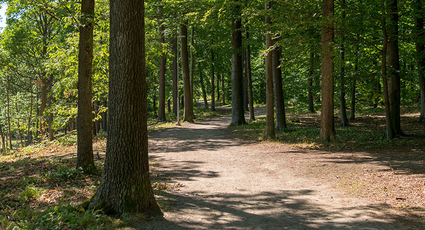
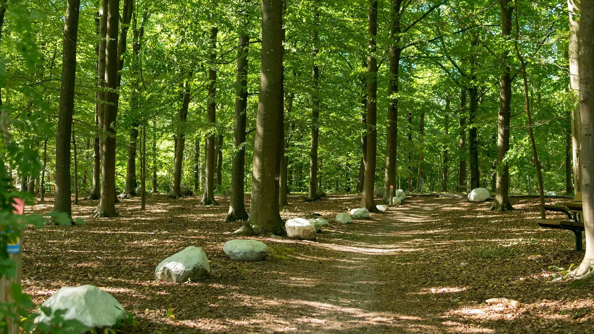
A twenty-minute walk from Halmstad City, the Galgberget hill pokes its head above the surroundings. This leafy oasis offers fun, history and exercise. Try out some of its paths and exercise circuits with the fantastic view across Halmstad and the bay (Laholmsbukten) ever present. The Health trail is one of the many to choose from here. It is four-kilometres long and passes sights such as the Hallandsgården open-air museum and the viewing tower.
The Fylleå trail, 6 km
Wander along the scenic Fylleån river. Measuring some 6 km, the trail runs all the way between Fyllebro and Brogård. Most of it is dirt but, passing through gates, some of it traverses pasture land. There are signposts and benches at selected points along the route. The area around the watercourse has major habitat values and is covered by several protection regulations, Natura 2000 included therein.
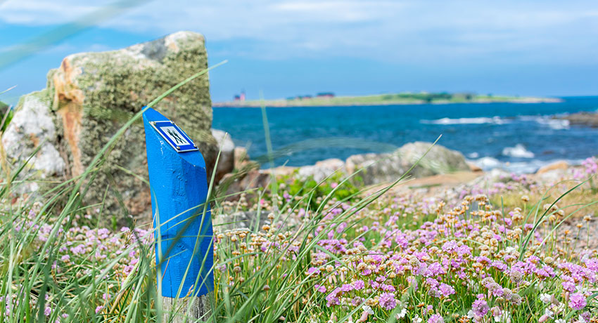
Prince Bertil’s trail
Coastal day-long walks
Prince Bertil’s trail, 18 km
Welcome to Prince Bertil’s trail one of Halland's most visited and most beautiful hiking trails! In Halmstad, we are very proud of Prince Bertil's trail that stretches from Kristian IV's old castle inside Halmstad city centre, via Tylösand's endless sandy beach and out to Möllegård's lush wetland alder forest. Prince Bertil's trail is an easily accessible hike that takes you on a journey through beautiful nature with everything from cliffs and old quarries to marinas and fishing bays. You'll pass places with impressive views, cozy bathing coves, and secretive places that have witnessed both quarrying and Viking battles. The trail is named for Prince Bertil External link, opens in new window., who was the Duke of Halland. He spent several summers here with Princess Lilian
 External link, opens in new window. in their summer house in Tylösand.
Haverdal nature reserve
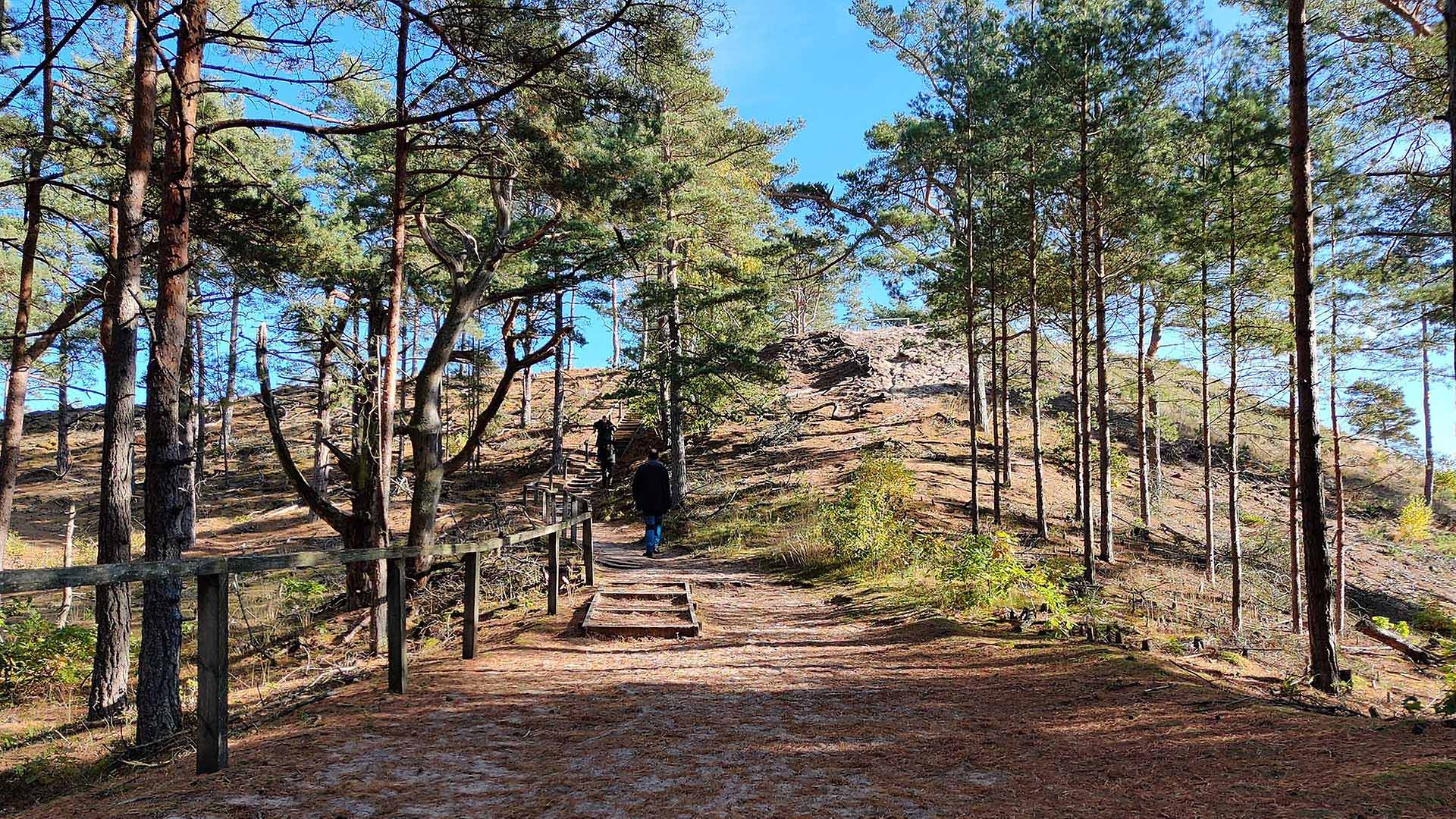
“Troll pines”, needle-strewn paths, coastal heath and high sand dunes – a wander in the Haverdal nature reserve (swe) External link, opens in new window. is never boring, regardless of whether you are cycling or on foot. We recommend scaling Lynga sand dune, which rises 36 metre above sea level. It is Scandinavia’s highest sand dune and offers amazing views across forest and sea.
The Orange loop - Large dunes and looping pines 4.7 km
In Haverdal Nature Reserve there are several trails that stretch across the beautiful pine forest. The orange loop starts at Lynga's parking lot, just west of Haverdal Golf Club and goes south all the way to Vilshärad. Along the way, you will pass one of Scandinavia’s highest dunes, Lynga, also called Stora Sandkullen (the great dune), at 36 meters above sea level. Bring your swimwear and head down to the wonderful beach for a lovely swim. Until around 1900, the area was a large area of shifting sand, but since the sand would escape and settle over streets and fields, pinetrees were eventually planted to fixate the surface. What made the pines grow so loopy is anyone's guess.
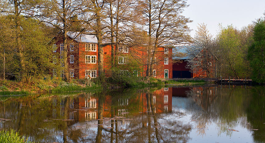
Möllegård mill. Photo: Patrik Leonardsson
Möllegård nature reserve, 1.7 and 2.5 km
Several trails run through the Möllegård nature reserve (Swe) External link, opens in new window.. At around 2.5 km, the Möllegård circuit is an easy trail that takes about one hour to walk. A shorter (1.7 km) “yellow” trail and a short riding path can also be found here. Prince Bertil’s trail is another to pass through the area. Do not miss the protected pasqueflower, which blooms in May.
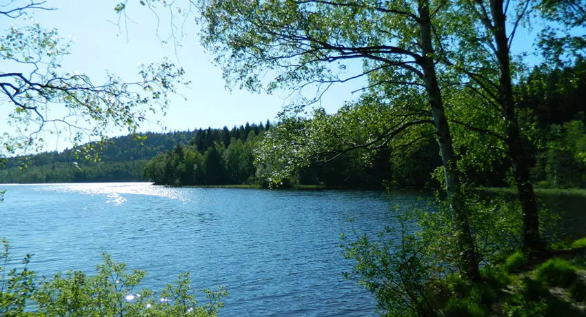
Skedala skog
Dense forests
The Skedalaskog forest 7 hiking trails
The Skedalaskog forest is located about 9 kilometres east of Halmstad. It is a very popular area for hiking that has a range of trails with varying degrees of difficulty. The trails range from 3.9 to 7.7 kilometres. One of the most popular trails goes around the beautiful Torvsjön lake. Along the trail, there are a number of prepared barbecue facilities that are perfect for a picnic!
Skedalaskog – Torvsjön around 3.8 km
Ten kilometres east of Halmstad you’ll find the popular hiking area Skedalaskog. There are several trails in the area, but the most popular one goes around the beautiful lake of Torvsjön. It’s as beautiful on a summer day as on an overcast afternoon when the clouds and fog roll down across Högåsen’s forested heights. Bring charcoal and hot dogs to grill at one of the wonderful barbecue spots along the trail. Or why not buy a fishing license and attempt to hook a pike or rainbow trout?
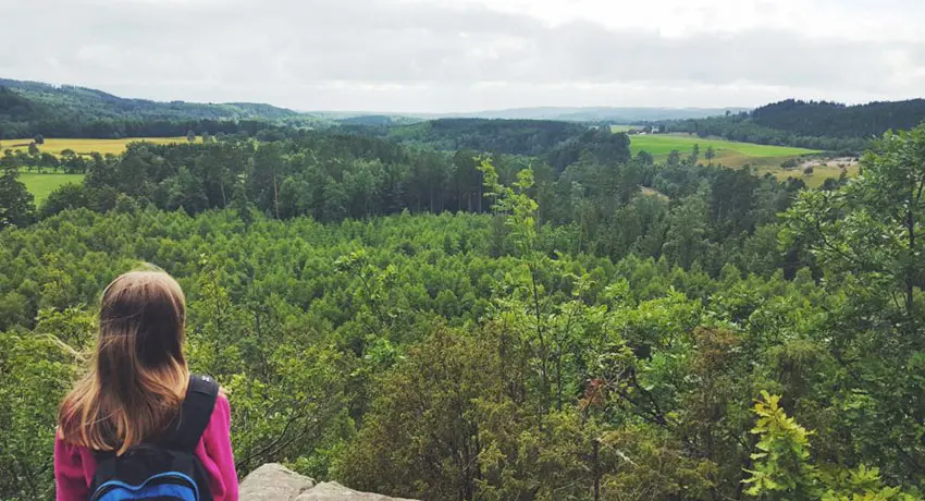
Virsehatt
Virsehatt
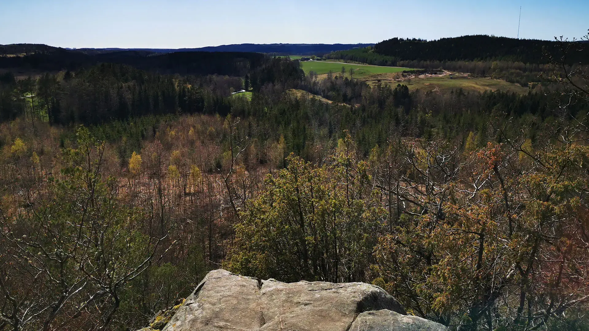
Virsehatt nature reserve (Swe) External link, opens in new window. is a hill that rises dome-like above the Sennan valley. There are lovely trails and beautiful views here. If you would like a slightly tougher walk, scale the hill to enjoy the magnificent panoramas.
Digital treasure hunt with views and witchcraft 1 km
Go on a digital treasure hunt (Swe) External link, opens in new window. with the whole family and enjoy the beautiful views from the top of Virsehatt. Bring your phone or tablet and listen as Virse tells an exiting tale from the 5th century about the brothers who hid three treasures in Virsehatt. The road up the mountain becomes an exciting adventure and the greatest reward is the view from the top. Look for liverleaf, smell the honeysuckle, or discover the brick remains of the ancient castle that once stood stately at the top of Virsehat.
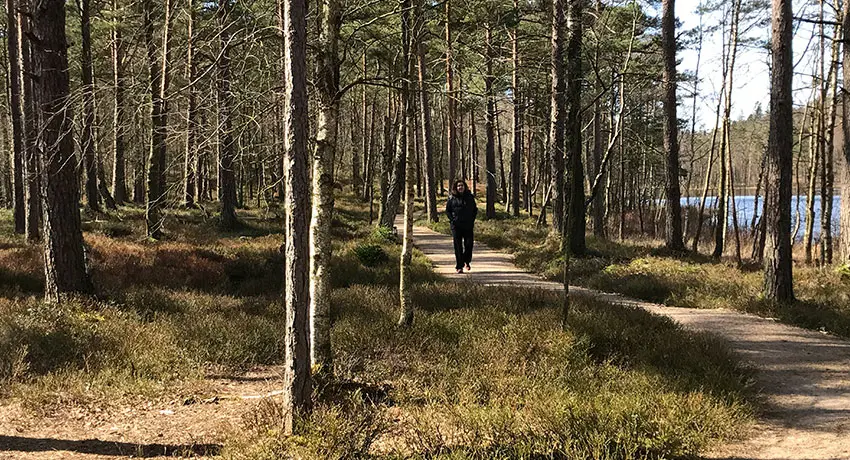
Biskopstorp
Biskopstorp, 11 trails
Biskopstorp nature reserve (Swe) External link, opens in new window. is one of southern Sweden’s largest forest reserves. It has eleven walking trails in various formats. They are interspersed with barbecue sites and a viewing platform offering panoramic vistas. The deciduous forest hills are perfect for both cycling and walking. There are also disabled-friendly trails here.
The Strettelien loop in Biskopstorp 3+1 km
In one of southern Sweden's largest forest reserves you will find one of Halmstad's very best vantage points. Park the car at Kroksjöholm and follow the red Skötsel loop for about 500 meters until it folds off and you instead see poles with green markings. A bit into the loop you reach the top of Fästampåsen ridge where a wooden stand has been built to allow you to enjoy the amazing view. On a beautiful day you can see Steninge in the north, Hallandsåsen in the south and the entirety of Halmstad from a different angle. The road up to the vantage point is accessible so everyone can experience the view. Further along the loop you will descend into a mighty rift valley terrain with ancient forest where over 100 endangered species live. On the way back you can easily jump on any of the other loops to take a longer walk. Or why not take a break and a cooling dip at the beautiful lake, Kroksjön
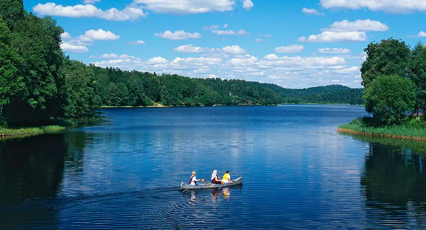
Gyltigesjön. Photo: Patrik Leonardsson
Gyltige
White trail – Wilderness and water mills 13.2 km
Gyltige’s white trail. External link, opens in new window. Are you craving real wilderness with little risk of meeting other hikers? Follow the white markers from the old farmhouse of Simlångsgården in Gyltige towards Lidhult and then turn off into the forest. Here you’ll have a good chance to see wild animals such as moose and wild boar, even bears and lynx have been regularly observed in the area. When you have made your way around Håraltsjön and glimpse the Longhulta bog between the tree trunks, don’t miss taking a look into Svalilts Skvaltkvarn, where the farmers of yesteryear went to grind their grain. Svalilt is also one of the highest situated villages in Halland at a staggering altitude of 200 metres.
Yellow trail – 3.2 km
Gyltige’s yellow trail. External link, opens in new window. Just north of Gyltige in the Simlångsdalen valley, the Gyltige yellow trail
 External link, opens in new window. runs on paths and forest vehicle tracks. On the western part of this walking trail, steep-sided ridges are clearly visible. These are stone, gravel and sand and were left by the melting ice some 12,000 to 13,000 years ago. Large and small kettle holes can be found in the terrain. Old gravel pits are witnesses to material having been taken for the construction of nearby houses and roads.
Blue trail – 10 km
The Gyltige blue trail External link, opens in new window. leads towards the beautifully situated village of Svalilt, southeast of Gyltige in Simlångsdalen. Along the trail you will experience meadows, pastures and forests of beech trees. On the track to Svalilt, you will first pass by Sutarebo. The trail runs along the edge of a very hilly nature reserve comprising of beech tree forests and steep ravines.
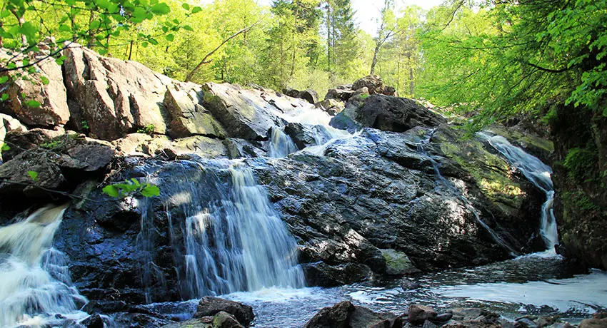
Danska fall
Danska fall, 2.7 km
Danska fall is a historic nature reserve that attracts many inquisitive visitors. A 2.7-km long trail leads you through fantastic countryside that offers breath-taking experiences. Danska fall itself is the highlight. This waterfall system has a total drop of 36 metres. The path begins within walking distance of the community of Simlångsdalen. Follow the blue trail. There are also remnants of the old ironworks Jöransfors, which was one of Halland’s largest industries in the 18th century. To make your walk more challenging, continue along the Assman river on the Gårdshult trail towards the Gårdshult nature reserve.
The Gårdshult trail, 6.5 km
The Gårdshult trail External link, opens in new window. runs 6.5 kilometres along the Simlångsdalen
 External link, opens in new window. valley. You can choose either the western or eastern side of the Assman river here. The Gårdshult Nature Reserve is perfect for a coffee break with its endless stone farms and open cultural landscapes. Along the way you pass, among other things, the stately pillar formation Stenkyrkan. Follow the red trail. There are three offshoots along the way – around the Brearedssjön lake, the Smedhult trail and the Kannesten circuit. Danska fall are also linked to Gårdshultsleden.
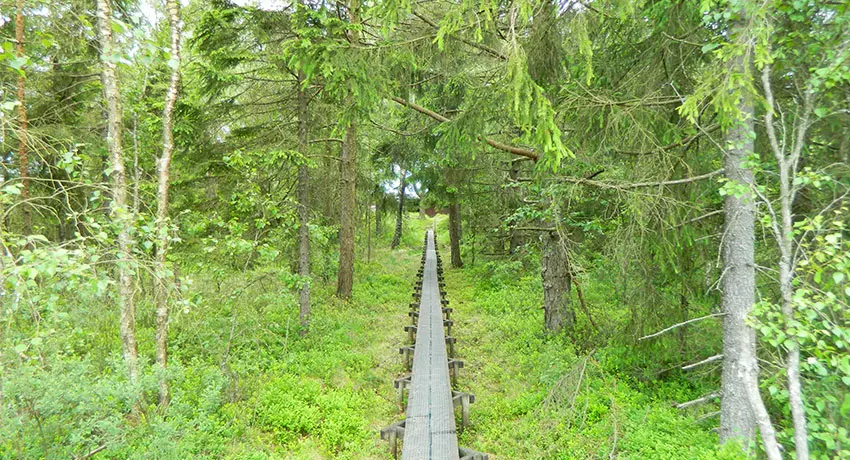
Långhultamyren
The Långhultamyren 3.7 km
Just before the Småland border lies the nature reserve Långhultamyren. From the parking lot you walk over beautiful juniper slopes, which are reminiscent of the Tuscan landscape on a sunny day. Make sure you wear proper, waterproof shoes when you then trudge out into the mire’s lonely paths. A large part of the trail takes you on footbridges across the mire, but it can still get very damp in places.
In the spring you can experience the beautiful courtship ritual of the black grouse from the cottage which is about one kilometre from the parking lot. There is also a viewing gallery for up to four people. In addition to black grouse, you may be lucky enough to see capercaillie and moose or, if you lower your eyes to the ground, cloudberries, cranberries, and the carnivorous plant sundew.
Klövaberget, 0.7 km
Standing atop Klövaberget’s External link, opens in new window. 30-metre high, 100-metre long cliff wall is not for the faint hearted. Besides a tickle in the tummy, you also get a panoramic view across the Simlångsdalen valley
 External link, opens in new window.. The cliff top is a perfect place to enjoy the packed lunch you brought along! Follow the blue trail.
Lake Brearedssjön lake, 4.2 km
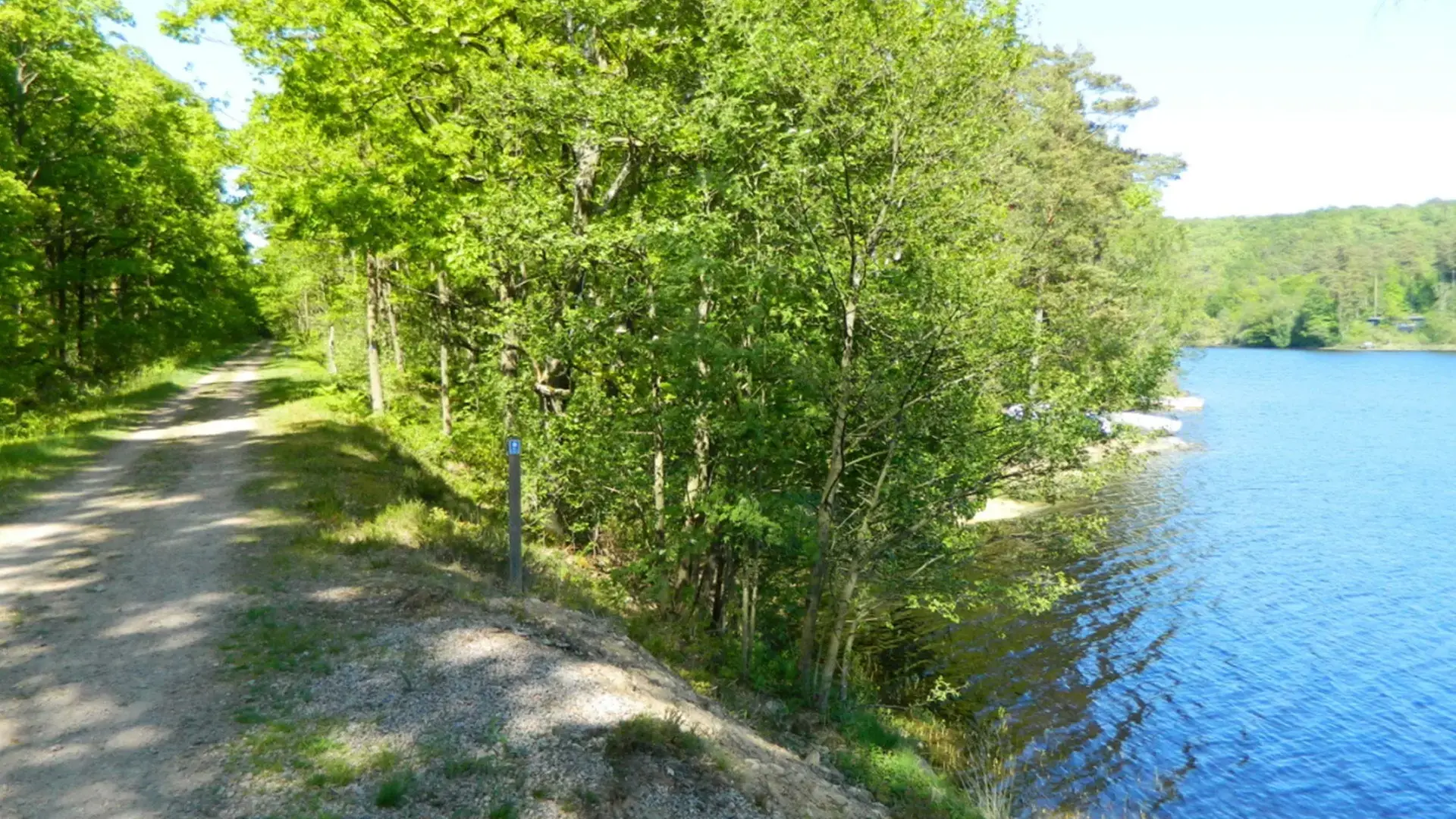
The trail Lake Brearedsjön External link, opens in new window. goes around the Brearedsjön and has beautiful beech forest on one side and the disused Bolmenbanan railway on the other. The old Jöransfors iron works is amongst the things you pass along the way. Follow the yellow trail.
More nature and the outdoor life
-
Lovely cycling trails in Halmstad
In Halmstad we have several fantastic cycling… -
Hike in scenic Simlångsdalen
In the eastern reaches of Halmstad you will… -
8 of the best barbecue areas
Gathering around an open fire and barbecuing… -
Hiking in Halmstad – longer tours
Do you like to walk? In Halmstad you can…
Gems!
-
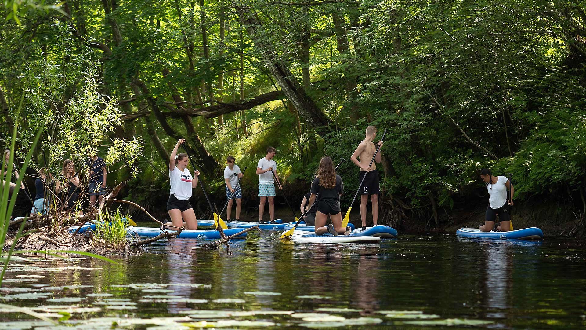
SUP Adventure along Fylleån
-
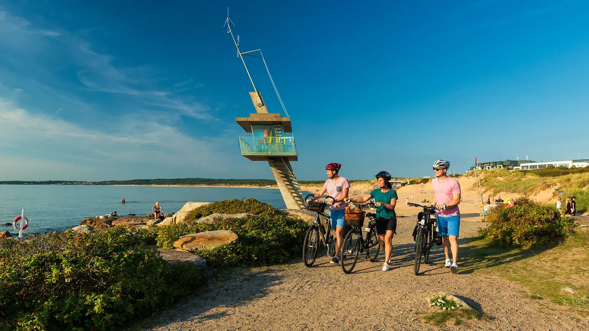
Tylösandsleden – The 25 kilometer local cycling trail
-
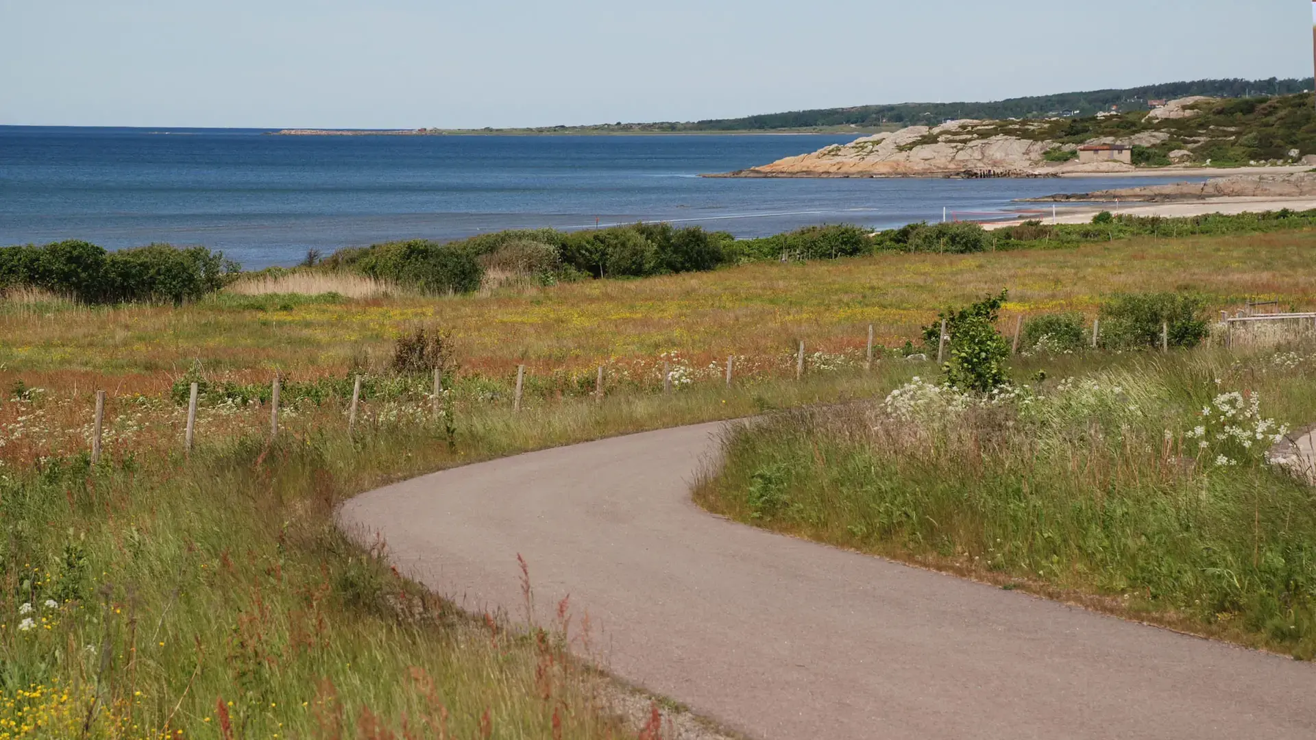
Halland coastal road
-
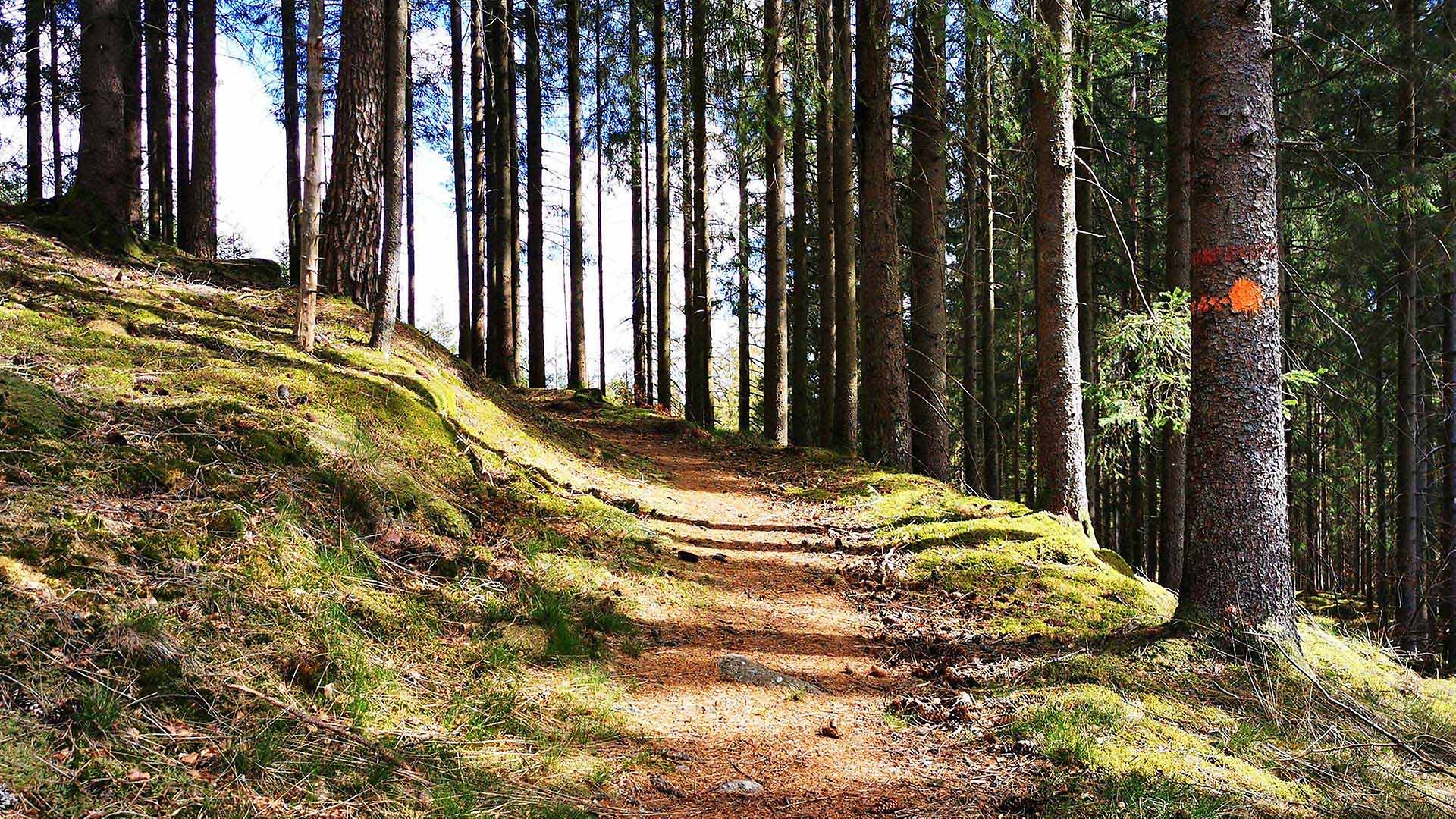
Hallandsleden – 435 km hiking trail
-
Galgberget
-
Banvallsleden – a 250 km cycle route
-

The rhododendron park
-
Lynga sand dune
-
View from Virsehatt
-
Prins Bertils stig – The 18-km walking trail
-
Kattegattleden – a 390 km national cycle path
-
Vargaslätten – garden and museum
More Halmstad
-
Inspiration and guides
Can I bring my dog to Halmstad? No problem!… -
Nature and the outdoor life
Ahh! The Halmstad air! Filled with the tangs… -
Beach and coast
Shimmering sea and colorful sunsets are only… -
Food and drink
Food and drink is not just food and drink.… -
Culture and history
In Halmstad we deliver both culture and history… -
Events
Theatre? Concerts? Art exhibitions? Sport?… -
Spa and wellness
Taking an invigorating dip in the sea, lacing… -
Shopping
Shopping is an experience in itself. Perhaps… -
The Swedish capital of golf
153 golf holes, eight unique resorts in a… -
Good to know
We have gathered together a few practical… -
Accommodation
Where would you like to stay? In a castle… -
Sports and activities
Do you like being active? Raising your pulse,…

